Awesome sights dot Lake Superior’s Canadian shoreline

 By Fred Bagley
Okay, admit it. You’ve always wanted to take your boat to Lake Superior, but you’ve been put off by all the stories you’ve heard: it’s too cold, there’s too much fog, you can’t swim there, it’s too far away. Or you’ve listened to Gordon’s Lightfoot’s lament about the fate of the Edmund Fitzgerald too many times.
Well, put those concerns behind you and head north this year. Lake Superior is indeed the biggest (the sun rises in Duluth 40 minutes after it rises at the Soo) but with some modest preparation, enough time and a spirit of adventure you will, bar none, experience the best boating you’ve ever had in your life.
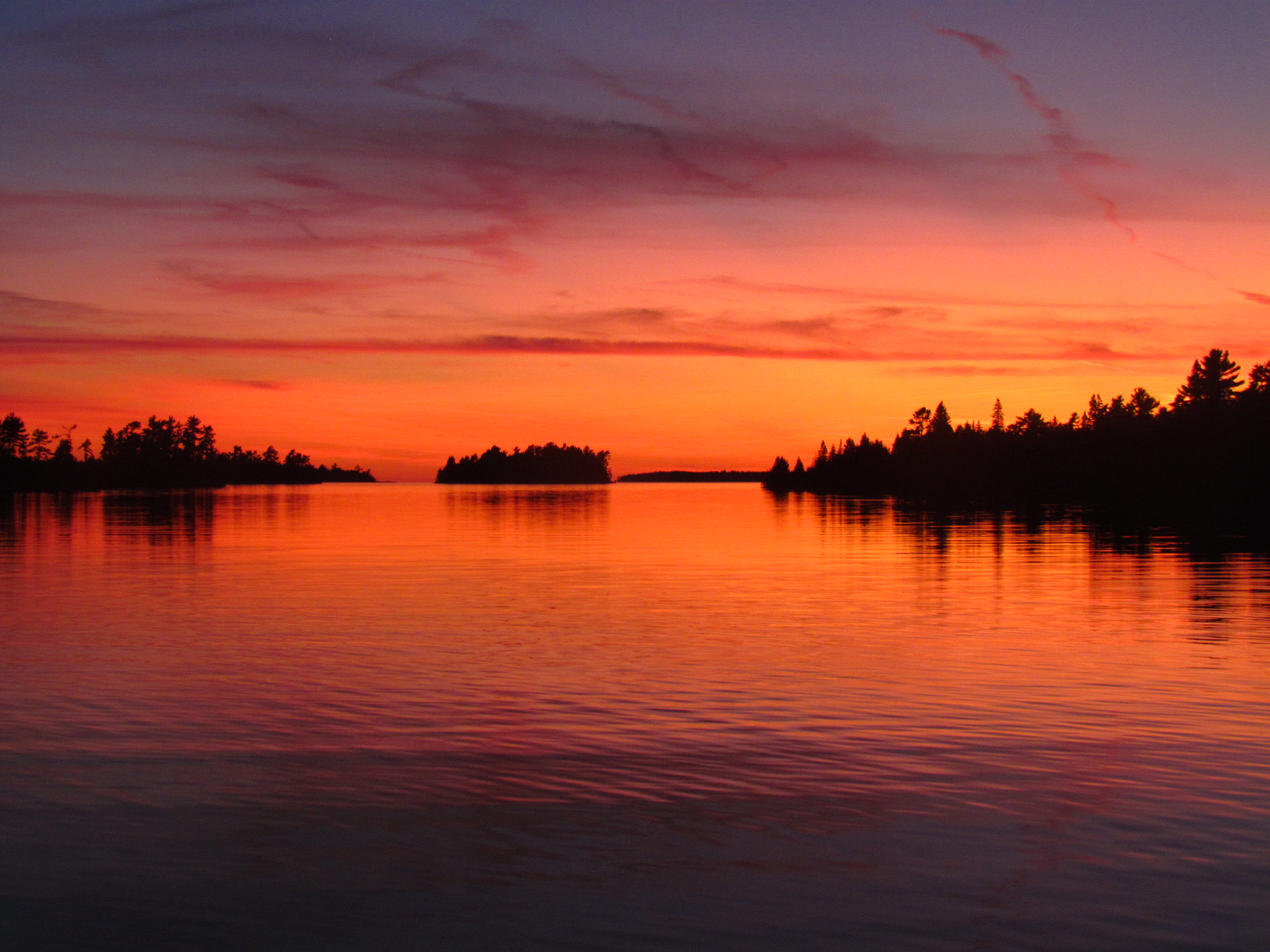
 Grandeur and solitude
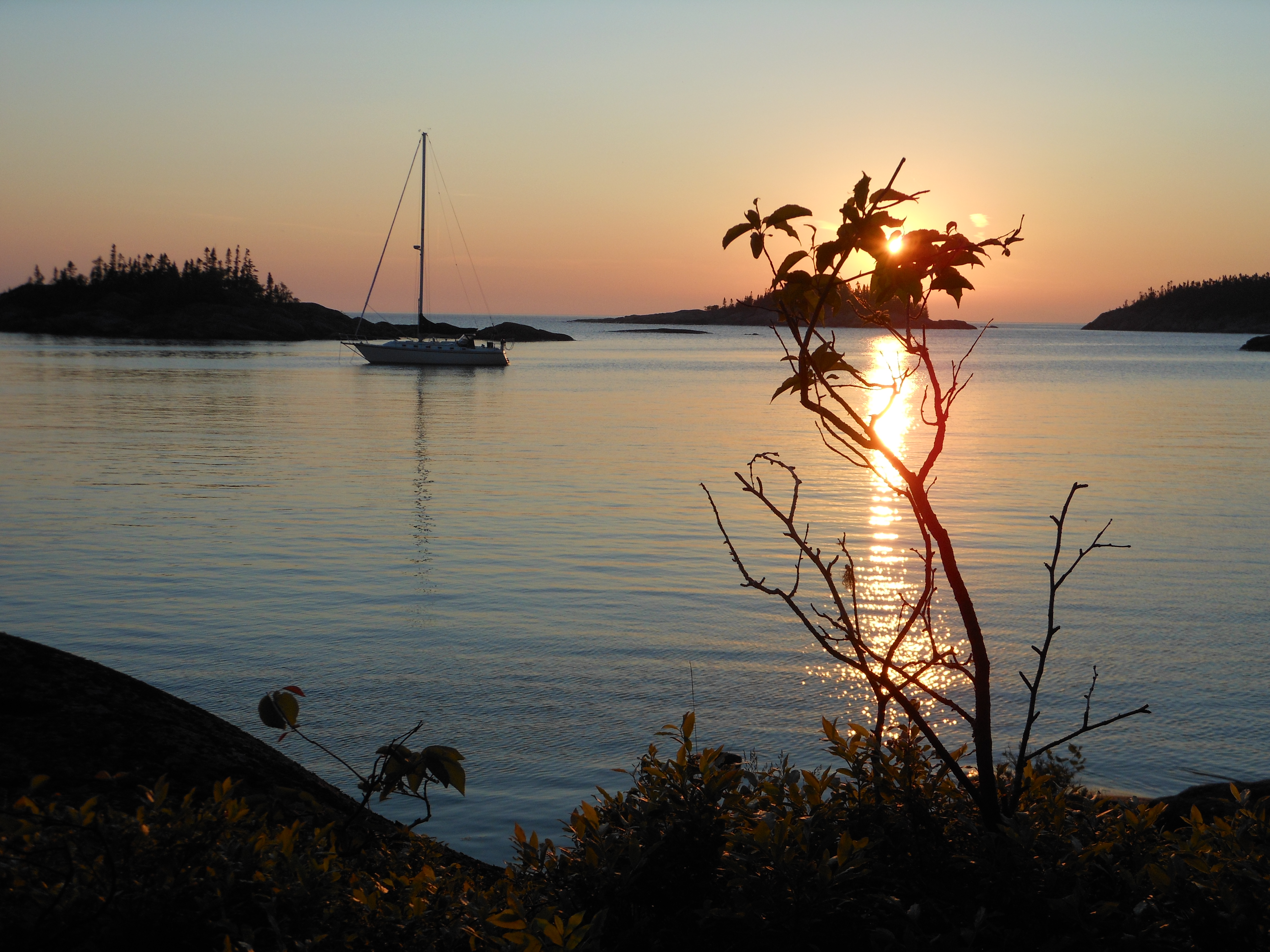
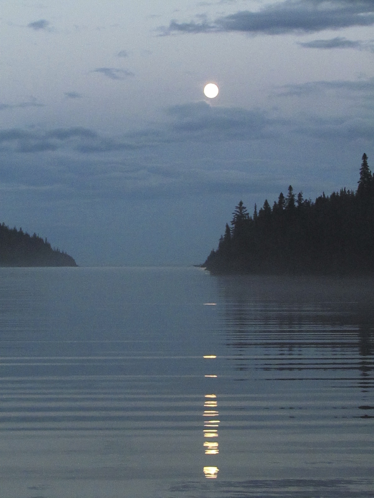
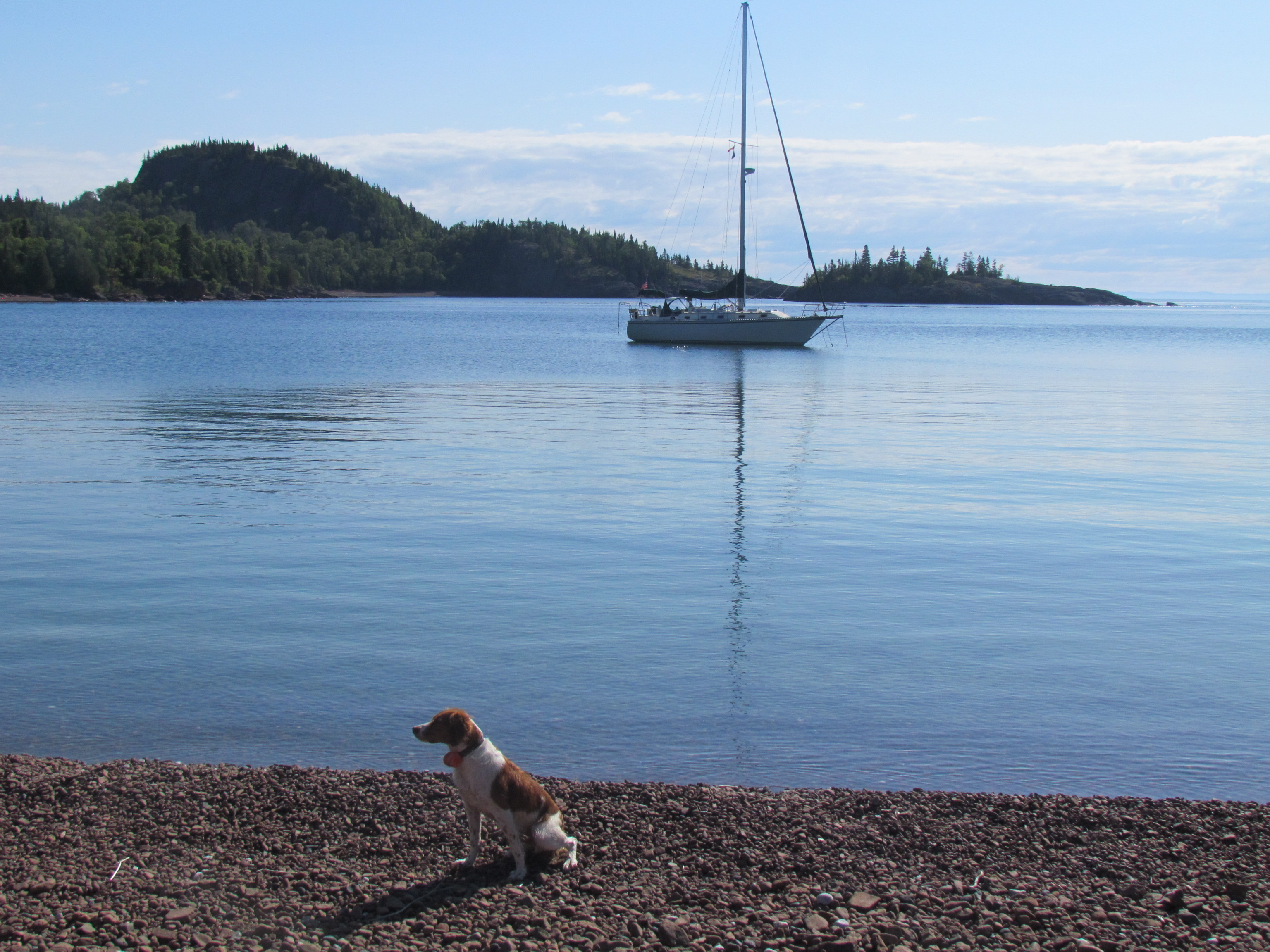
My wife, Jennifer, and I have spent 10 summers on Superior aboard our Caliber 38 Catamount. And with all due respect to Pictured Rocks National Lakeshore and the Apostles and Isle Royale on the American side, the Canadian shore of the lake is simply unrivaled for its grandeur (bold rocky headlands, white-knuckle hidey holes, pristine sand beaches, expansive vistas) and solitude (we have gone two weeks without seeing another boat.)
And the weather on the Canadian side? Fog for sure, but winds are usually light due to the cold water and squalls are virtually non-existent. There are some caveats, though. From the Soo locks north along the Canadian shore it’s 250 miles to the first fuel stop and pump out. Cell service is spotty and even VHF weather reports can’t always make it into remote anchorages.
There are no marine services until you get to Thunder Bay, and Canadian Coast Guard coverage is limited. Radar is useful, not to look for other marine traffic because there won’t be any, but rather to navigate as the CHS charts are often off by as much as 100 meters.
Check your Harbor Reports carefully for anchorage information and track down a copy of the now out-of-print Bonnie Dahl guide. American boaters should check out Canada’s Remote Area Border Crossing (RABC) permit that allows entering Canada without checking in.
Don’t be in a rush
A good way to see the Canadian shore is to allow two weeks to get from the Soo to Red Rock and two weeks back; powerboats can make it a tad faster but then you’ll miss out on amazing anchorages. Choose either Kemp Marina at the American Soo or the newly renovated Bondar Marina on the Canadian side. In either case, take the American lock (it’s free) to head north as it’s open earlier than the smaller Canadian lock, and as a bonus you might get to share the space with a 900-foot freighter.
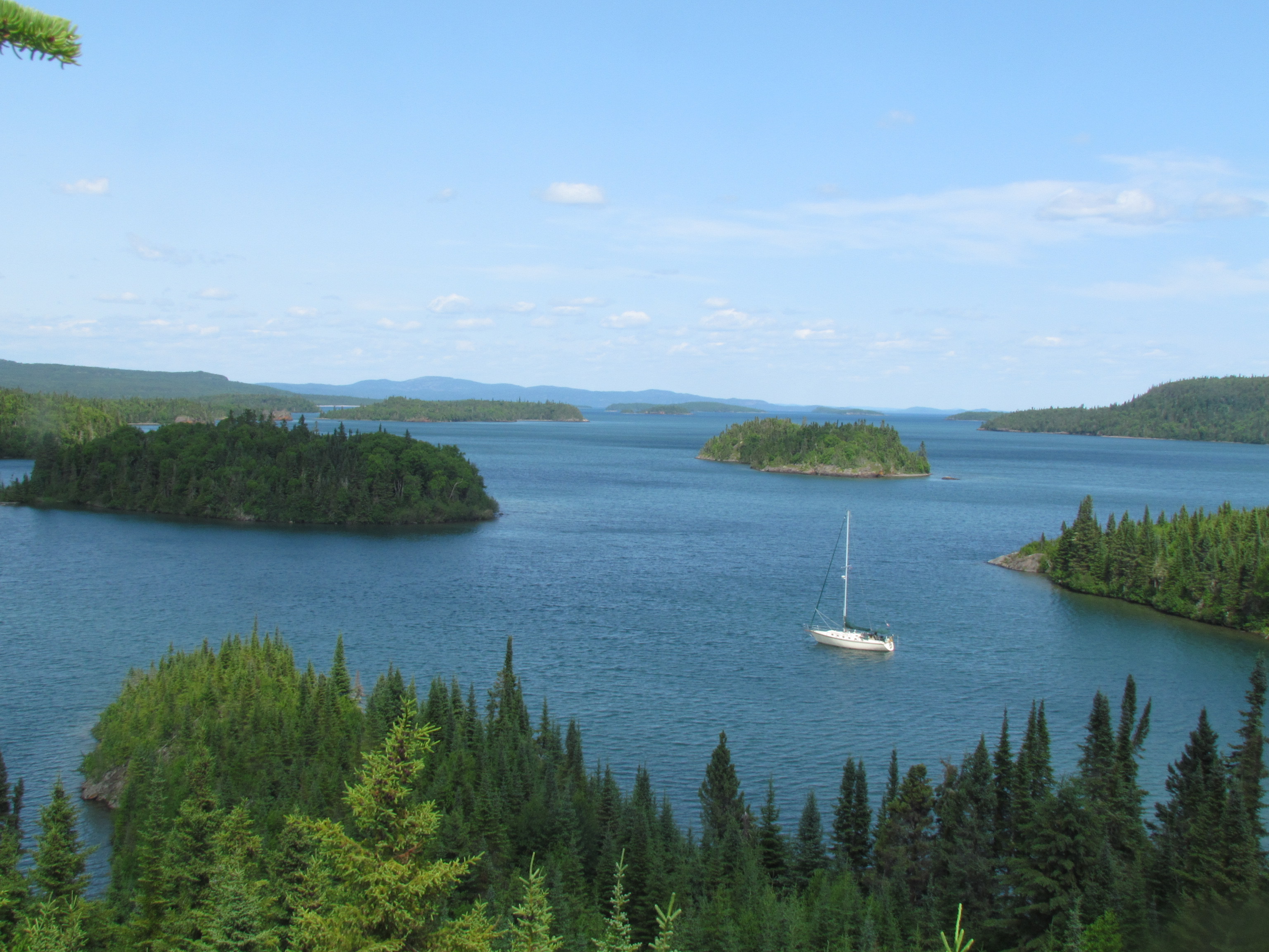
 Astounding scenery
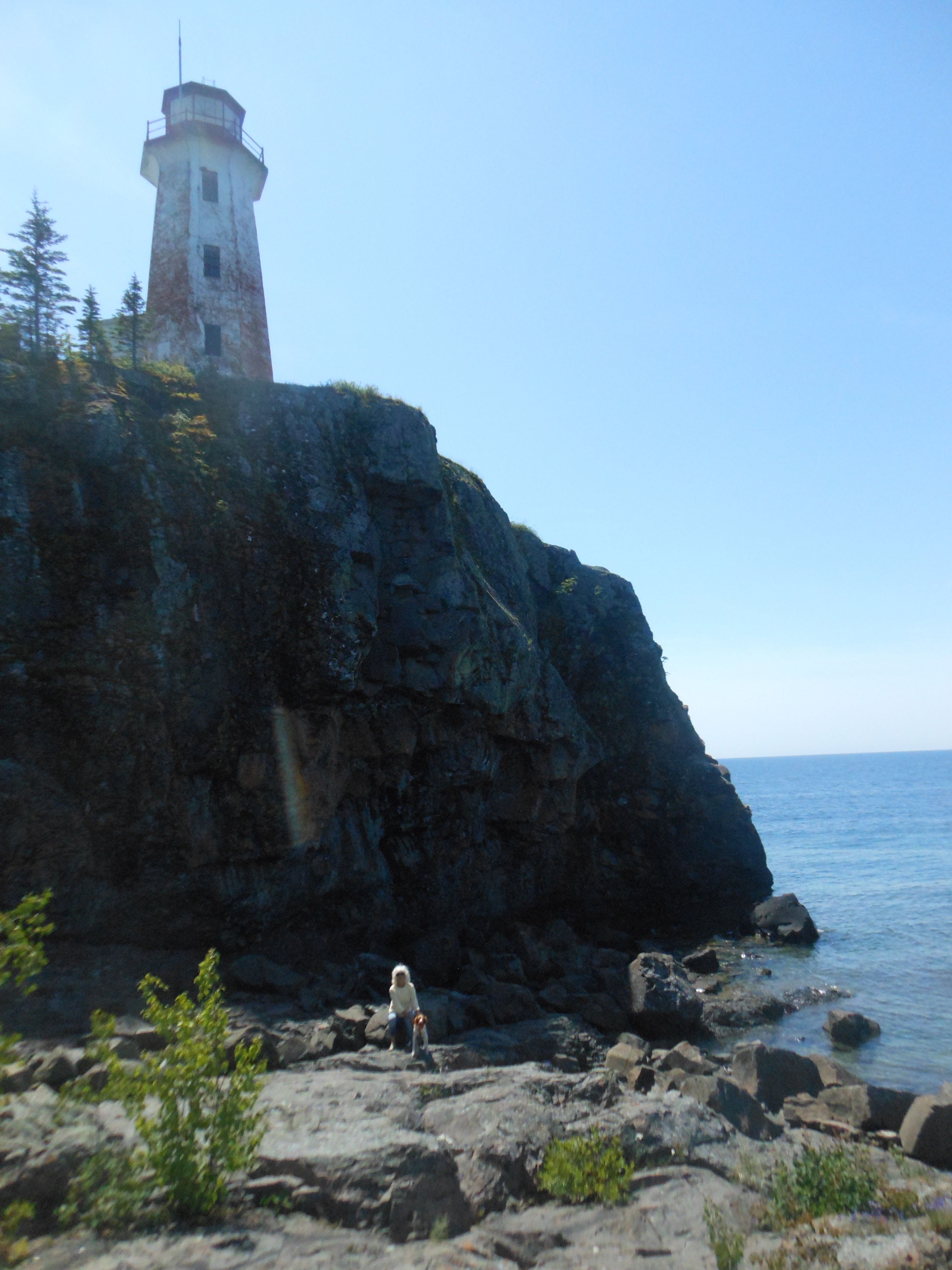
The first hop is 40 miles long from the Soo to Batchawana Bay, and another 40 miles from there to Sinclair Cove, where you’ll stand in awe looking at 500-year-old pictographs on a lakeside cliff. Then anchor off the broad sand beach of Gargantua Harbour to explore an old shipwreck or poke into the recesses of Pantagruel Bay or around the corner at Indian Harbour. Work your way north to Brulé Harbour and then jump to isolated Pilot Harbour or Ganley Harbour. Further north lies Pointe la Canadienne with sandy beaches and 250-foot-high cliffs, and then it’s onward to totally protected (but deep) East Otter Cove where you can sail right to shore under its towering rock heights. Dinghy up to Cascade Falls or all the way to Old Dave’s Harbour on Otter Island to hike to a lonely lighthouse.
Pukaskwa National Park
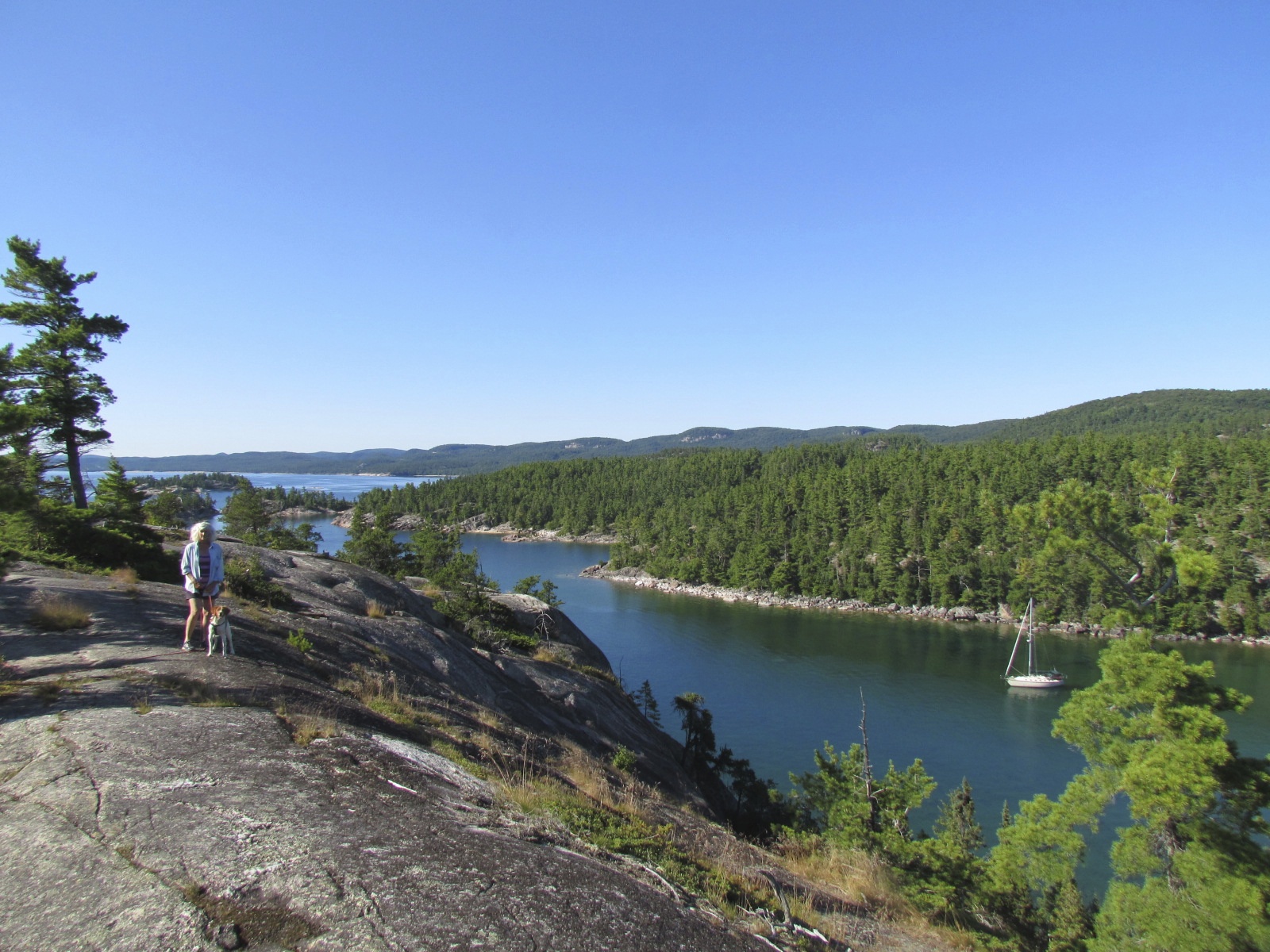
The mainland to the north then becomes Pukaskwa (PUCK-a saw) National Park with too many anchorages to list but be sure to check out Richardson Harbour, Dampier Cove (that’s the white knuckle one), Fish Harbour (awesome beach) and Pitch Rock Cove. And get this: the anchorages along this shore are generally shallow and protected enough to make swimming possible, even enjoyable! Pulpwood Harbour offers dinghy access to Park Headquarters where there’s 24-hour WiFi.
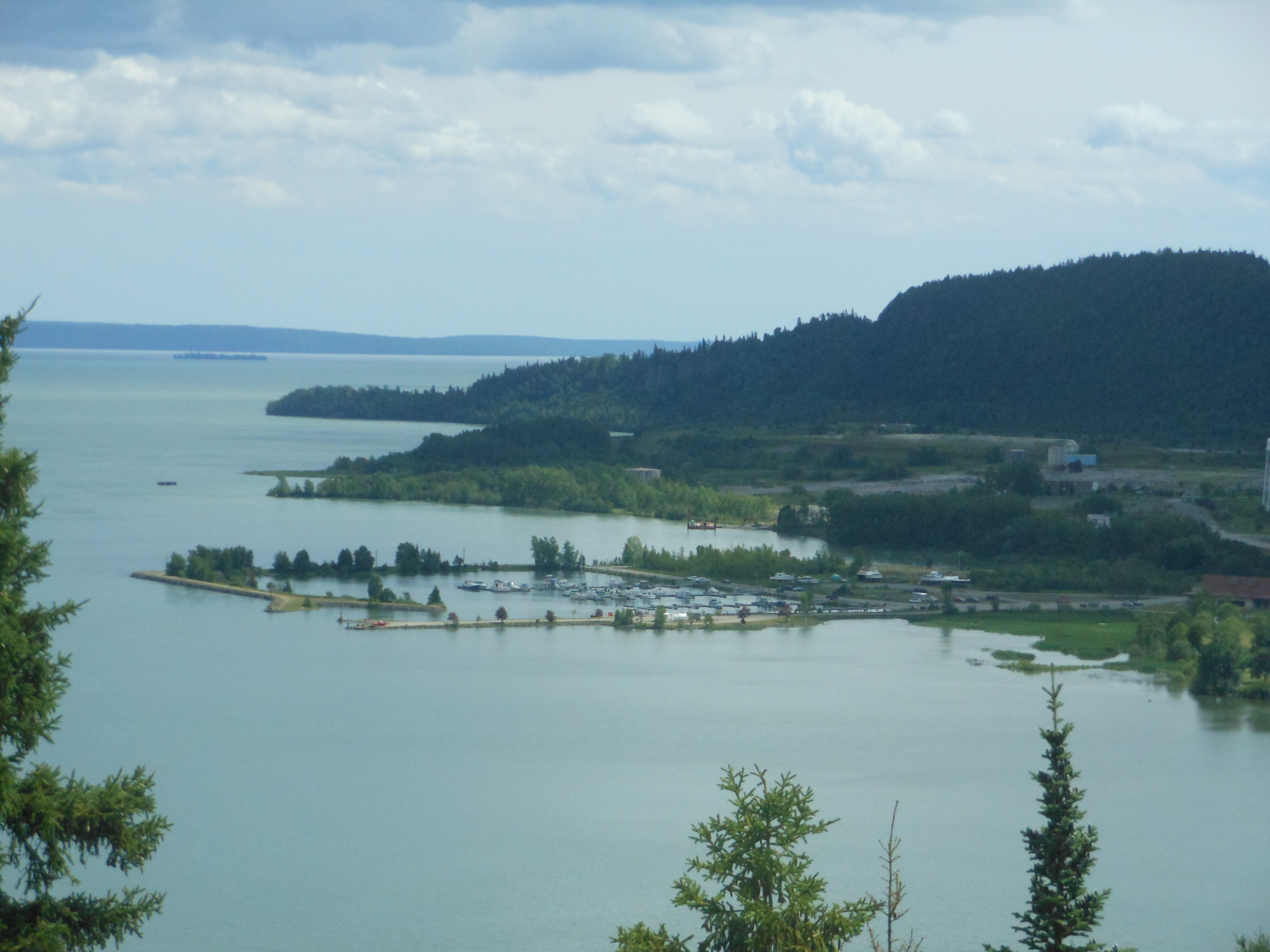
Then hop across open water to the Slate Islands and tuck into totally protected Pike Bay and explore its old lumber camps. Further west is a string of islands that protects you from the open lake with isolated anchorages at Agate and Willard Islands, part of a newly established Canadian marine reserve. To get to Red Rock and its fuel, pump out and grocery store (with an LCBO) either cross Nipigon Bay or run up Nipigon Strait, where there’s good hiking at Moss Harbour. If you’ve got a little more time, go further west as far as Loon Harbour and find the wilderness sauna hidden on a tiny island.
 Heading home
On your way back to the Soo, hit those little anchorages you missed on the way up, maybe running up into West Otter Cove with another waterfall, island-studded Woodbine with its sea cave, the delectable quiet of Morn Harbour, or pick your way past Battle Light to amazing Old Man’s Pocket.
You’ll probably stop in the Slates once more (they’re too much fun to do only once) and then go across to Pulpwood to continue further south. But this time, head from East Otter Cove or Richardson Harbour, out to Michipicoten Harbour, the second largest on the lake, and settle in the east end of Quebec Harbour off the abandoned fish camp.
Then it’s finally time to head south and home. The quaint Canadian lock (also free) is open until 9 p.m., plenty of time to settle back into Bondar or Kemp. Then you can kick back, crack open a beer or a bottle of wine and toast yourself, and toast Lake Superior.
This amazing lake has challenged and protected you. It has inspired and restored you. The only problem is you will want to go back again. Soon.
Love the Canadian Shore
PermalinkPeople never believe me when I tell them you can find a safe anchorage every 30NM! Great article!
Heading around again!
PermalinkOur 4th time on Superior. A clockwise journey and sitting in Whitefish Point ready to head to the Apostles then North to Thunder Bay and then east along the Canadian shoreline. We can attest to the beauty of the Canadian section of the lake. Our first year was special sailing with you, Jennifer and Jack on that trip around the lake. Great article Fred!
Dave and Carla
Lake Superior post
PermalinkGreat post , Fred. So many people skip this beauty, or just dip their toes in a little of the South Shore. They’re missing the majesty of the Lake Superior experience. I’m hoping your outstanding post will correct those misconceptions and bring more people to the remote and awesome north and east shores of the lake.